Mike and Ted's Fishing Extravaganza
Join us for a hilarious and heartwarming sit-down with Mike and Ted as they dive into their legendary…
The Road Hunter Podcast
eScouting for Fish: How to Find Hidden Fishing Spots with Google Earth & OnX Maps
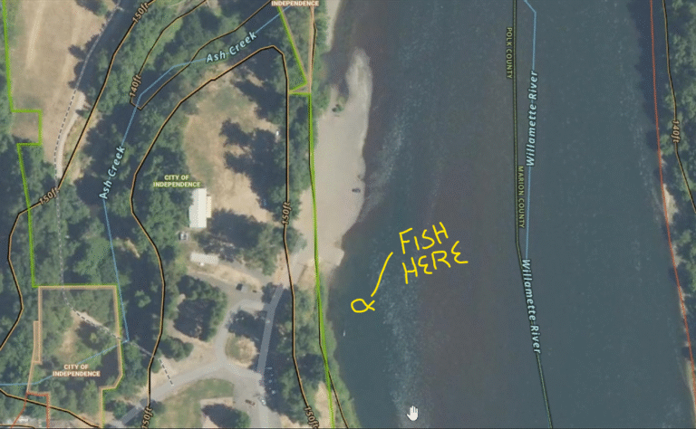
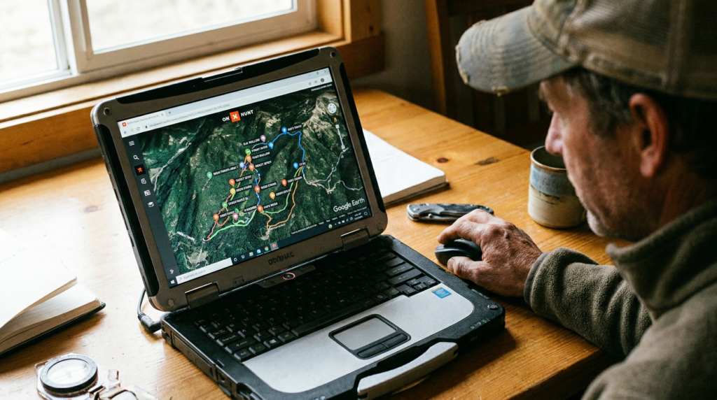
In this episode of The Road Hunter Podcast, we’re diving into the digital side of fishing: eScouting. Learn how we use Google Earth and OnX Maps to locate remote and productive fishing spots before ever hitting the water. We talk about satellite imagery, topographic clues, public access tips, and how to build a game plan using tech. Whether you’re new to eScouting or want to level up your fishing strategy, this episode has the insights you need!
Related: finding public hunting land in Oregon.
Subscribe and join the hunt for better waters!
#Hashtags:
#RoadHunterPodcast #eScouting #FishingTips #OnXHunt #GoogleEarthFishing #FishingMaps #FindFishingSpots #FishingGear #OutdoorTech #FishingPodcast #BankFishing #PublicLandFishing #FishingLife #MapScouting #FishSmarter
Using Google Earth and OnX satellite imagery, you can spot three kinds of seams before ever wetting a line: fast current next to slow current, shallow water dropping to deep, and the V-shaped current break where two flows merge around an island or rock. All three concentrate fish because fish sit in slow water and dart into fast water to feed: they don’t waste calories holding in the current itself.
Drop pins on every visible seam along a stretch of river using satellite imagery, then float to them with a plan instead of blind-casting the entire run. This works on rivers, the coast (spotting darker pools against lighter shallow beach), and lakes (overlay a topo map to see underwater contour and points where coves taper off into deeper basins).
On the water, look for the literal foam line where two currents of different speed meet, that visual cue marks the same seam you identified on satellite imagery, in real time, from the bank or the boat.
Yes. Google Earth and OnX Maps satellite imagery can reveal current seams, depth changes, and structure well enough to pre-plan likely holding spots before you ever launch a boat.
Holding in slow water conserves energy. Fish dart into the adjacent fast current only when food drifts by, then return to the slower water to wait for the next opportunity.
Try this before your next trip and let us know if it worked out in the comments. Thanks for listening.
More From the Blog
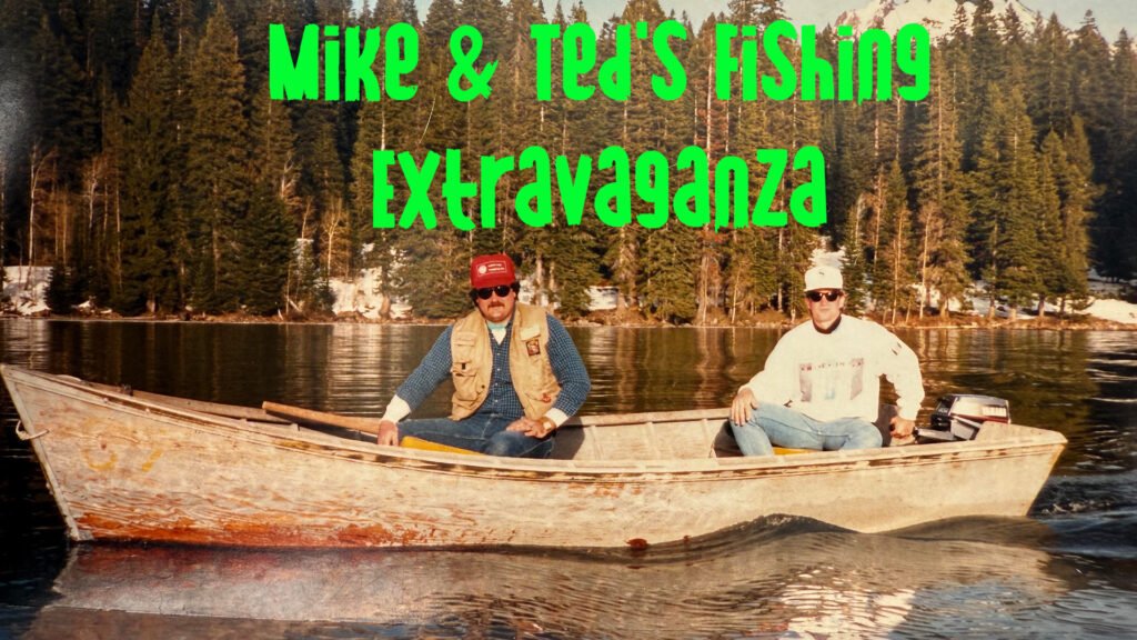
Join us for a hilarious and heartwarming sit-down with Mike and Ted as they dive into their legendary…
What happens when you try to run a podcast in the wild with no plan, no script, and…
This episode is a lesson in hunting patience and topo scouting from someone who’s actually put in the…